Over the next century, we can expect sea levels in San Francisco Bay to rise several feet or more. In this two-part blog post, I’ll discuss what this means for your community and what we can do to address the problem.
Sea level rise: a slow-moving crisis
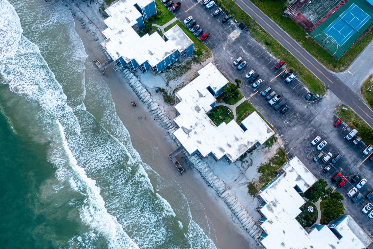
Sea levels have already been rising for decades; San Francisco Bay has risen 8 inches since the mid-1800s. Predictions for the future vary depending on the models used, but there is broad scientific consensus that we can expect something in the range of several feet by the year 2100.
San Mateo County is the most vulnerable county in California in terms of economic risk from sea level rise. In part, this is because the county is unusual in having two shorelines – the Bayshore and the coast – with very different problems pertaining to each. (In this blog post, I’ll focus on the Bayshore and save the situation on the coastside for a future post.) San Mateo County is especially economically vulnerable because so many of the region’s biggest employers and its important infrastructure are located right on the Bayshore and in the path of sea level rise.
Many people envision sea level rise as the shoreline gradually disappearing underwater as the sea level steadily inches higher year by year like someone filling a bathtub. But that picture ignores the fact that storms can cause sea levels to surge even higher than normal, causing neighborhoods that are dry 99% of the year to suddenly be subject to flooding. These storm surges can result in storm drains being unable to accommodate heavy rainfall – as many neighborhoods experienced during the atmospheric rivers last winter when conditions were made even worse by the seasonal king tides.
Thus, sea level rise doesn’t manifest as the waterline slowly and steadily creeping higher – it manifests as high tides becoming higher, storm surges becoming worse, and flooding becoming more frequent, severe, and lingering. In neighborhoods that already experience periodic flooding, the flooding will happen more often, last longer, and inundate to a higher level. Neighborhoods that have never experienced flooding will start to see floods – which will be infrequent at first but gradually become more common. The Bay Conservation and Development Commission (BCDC) has created an interactive online tool called “Adapting to Rising Tides,” where you can see what areas in our region could be inundated under different scenarios of sea level, storm surge and tide conditions. But it’s important to remember that in between these flood events, the land will be dry – which means it will be easy to be lulled into a false sense of security.
You don’t have to live near the Bay to experience the impacts of sea level rise. In addition to neighborhoods well inland being flooded when storm drains can’t cope with heavy rainfall, we will all feel the impacts if important infrastructure is affected. For example, in Redwood City, the main police station and the Kaiser medical center are in the sea level rise hazard zone, as are parts of Highway 101 – which could mean that response times for emergency medical personnel, and first responders will be affected during flood events, precisely when residents will be in need of help. And if local sewage treatment plants – which are all located right on the Bay – fail to function due to flooding, not only will you not be able to flush your toilet, but sewage could back up into your home, even if you live up in the hills.
What we can do about it
Fortunately, there are steps we can take to protect our communities against sea level rise. In my next blog post, I’ll go into what those steps are and how we can move forward. The important thing to remember is that it’s not too late to take action to protect ourselves from the impacts of sea level rise.
